
MarineTraffic Supports Equasis with Positioning Data
Post date: 08.01.2016 , Views: 337
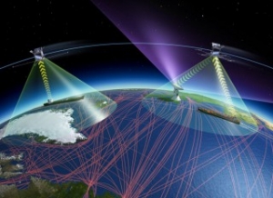 European Space Agency The AIS vessel tracking service MarineTraffic has started supplying geographical positioning data to the Equasis project, a European Commission initiative started in 2000 which makes ship safety information more widely available. The Equasis project makes information, including a vessel’s age, ownership, management, flag, classification society, P&I club and recent geographical positions, available via an online database that is freely accessible worldwide to registered users. Along with other AIS information providers, MarineTraffic said that it is supplying Equasis with vessel position information via its network of over 2,000 AIS receiving stations located in more than 165 countries, and has become a member of the Equasis board. In the future, Equasis users will also have access to vessel pictures provided by MarineTraffic from our extensive vessel photo database, Argyris Stasinakis, Partner at MarineTraffic, said.